Multi-sensor systems demand precision, and consistent calibration is the cornerstone of achieving reliable, accurate data across diverse applications and environments.
In today’s technology-driven world, multi-sensor systems have become ubiquitous across industries ranging from autonomous vehicles and robotics to aerospace, industrial automation, and consumer electronics. These sophisticated systems integrate data from multiple sensors—such as cameras, LiDAR, radar, IMUs (Inertial Measurement Units), and GPS—to create a comprehensive understanding of their environment. However, the effectiveness of these systems hinges entirely on one critical factor: calibration consistency.
When sensors work in isolation, calibration is relatively straightforward. But when multiple sensors must collaborate, sharing and fusing data to create actionable intelligence, the challenge multiplies exponentially. Misaligned sensors, temporal discrepancies, and environmental variations can introduce errors that cascade through the entire system, compromising performance and safety.
🎯 Understanding the Calibration Challenge in Multi-Sensor Ecosystems
Calibration in multi-sensor systems encompasses more than simply adjusting individual sensor parameters. It requires establishing precise spatial relationships between sensors (extrinsic calibration), ensuring each sensor’s internal parameters are accurate (intrinsic calibration), and synchronizing temporal data streams so information arrives cohesively.
The complexity arises from several factors. First, sensors operate on different physical principles—optical sensors capture light, while radar measures electromagnetic reflections, and IMUs track acceleration and rotation. Each sensor type has unique characteristics, noise profiles, and error sources. Second, sensors are physically mounted at different locations on a platform, introducing geometric transformations that must be precisely quantified. Third, environmental conditions—temperature fluctuations, vibrations, aging components—can cause calibration drift over time.
Consider an autonomous vehicle equipped with multiple cameras, LiDAR units, and radar sensors. For the vehicle to safely navigate, the system must know exactly where each sensor is positioned relative to the vehicle’s coordinate frame. A few millimeters of error in position or a fraction of a degree in orientation can translate to meters of discrepancy when projecting sensor data into the world, potentially causing the vehicle to misjudge obstacles or lane positions.
The Foundation: Intrinsic Calibration Mastery
Before sensors can work together effectively, each must be individually calibrated. Intrinsic calibration addresses sensor-specific parameters that affect how the sensor perceives its environment. For cameras, this includes focal length, principal point, lens distortion coefficients, and pixel aspect ratio. For LiDAR systems, it involves beam angles, range accuracy, and intensity response. Radar calibration focuses on frequency accuracy, antenna patterns, and timing precision.
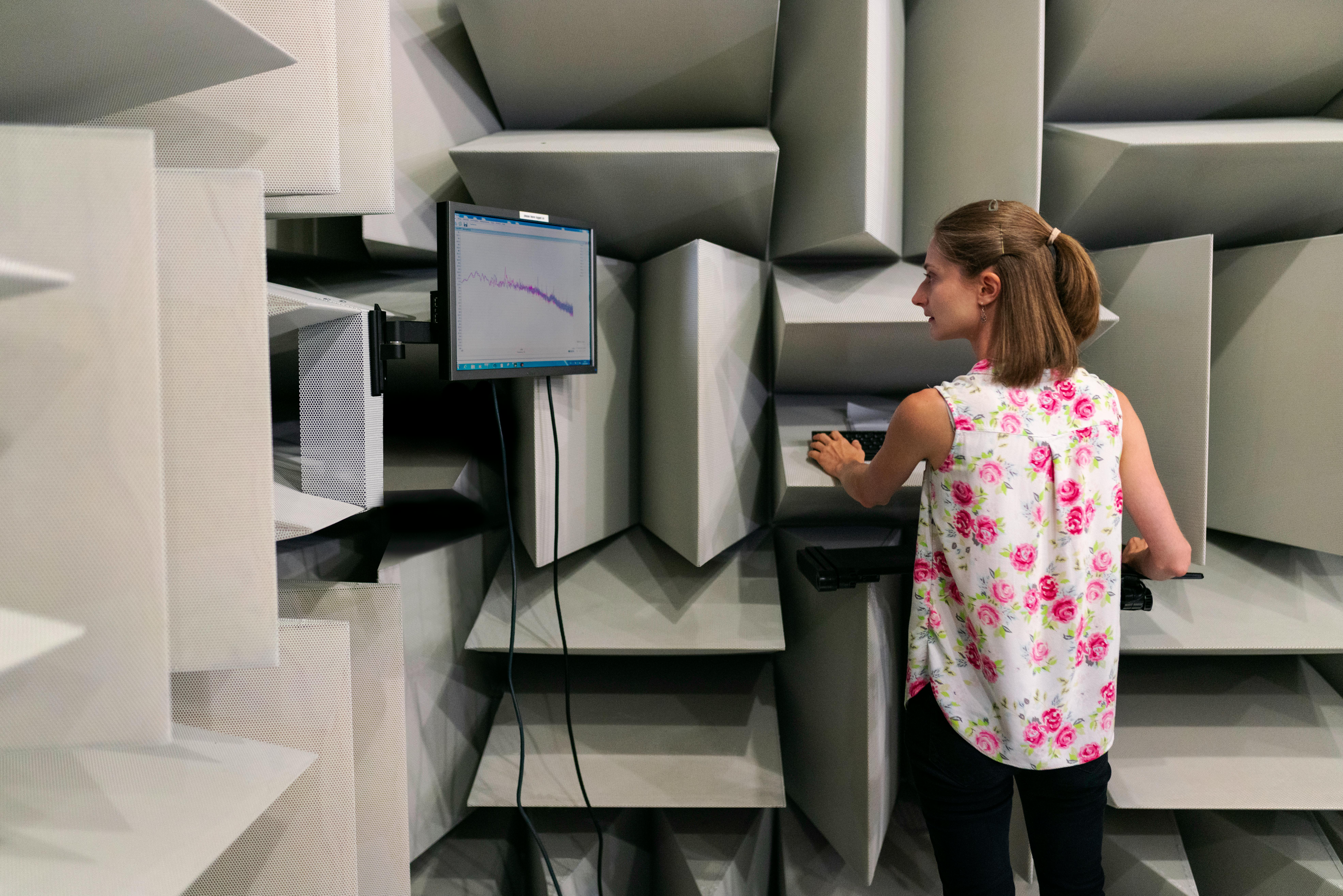
The process typically involves exposing the sensor to known targets or patterns under controlled conditions. Camera calibration commonly uses checkerboard patterns at various distances and orientations, allowing algorithms to solve for the internal parameters that best explain the observed projections. LiDAR calibration may involve precisely positioned reflective targets or planar surfaces whose exact geometry is known.
Modern calibration approaches leverage sophisticated mathematical optimization techniques. Bundle adjustment, for instance, simultaneously refines sensor parameters and target positions to minimize reprojection errors across multiple observations. These algorithms can process hundreds or thousands of data points to extract calibration parameters with sub-pixel or sub-millimeter accuracy.
🔧 Extrinsic Calibration: Establishing Spatial Relationships
Once individual sensors are intrinsically calibrated, the next challenge is determining their relative positions and orientations—the extrinsic calibration. This spatial transformation matrix allows data from one sensor to be expressed in another sensor’s coordinate frame, enabling meaningful data fusion.
Extrinsic calibration methods vary depending on sensor combinations. Camera-to-camera calibration can use overlapping fields of view and feature matching algorithms. LiDAR-to-camera calibration often employs specially designed calibration targets with features detectable by both modalities—visual markers for cameras and geometric edges or planes for LiDAR.
Target-based methods offer high accuracy but require careful setup and controlled environments. Pattern boards with known geometry, such as checkerboards with precisely machined edges, provide common reference points. The calibration algorithm observes the target simultaneously from multiple sensors and solves for the transformation that best aligns the observations.
Targetless calibration methods have gained popularity for their convenience and applicability in field conditions. These approaches exploit natural features in the environment—building corners, road markings, or distinctive objects—that can be detected across different sensor modalities. Mutual information maximization, feature correspondence, and geometric constraint satisfaction are common techniques in targetless calibration.
Temporal Synchronization: The Often-Overlooked Dimension
Spatial calibration addresses where sensors are located, but temporal calibration addresses when sensor measurements are taken. In dynamic environments, this timing becomes crucial. A vehicle moving at 30 meters per second travels 30 centimeters in just 10 milliseconds. If sensor timestamps differ by this amount, the fused data will represent different moments in time, introducing systematic errors.
Hardware synchronization provides the most robust solution, using shared clock signals or trigger mechanisms to ensure sensors capture data simultaneously. External trigger systems can coordinate multiple sensors with microsecond-level precision, eliminating temporal discrepancies at the source.
When hardware synchronization isn’t feasible, software approaches can compensate for timing offsets. These methods estimate time delays between sensors by analyzing correlations in their data streams. For example, both a camera and LiDAR observing the same moving object will show correlated changes in their measurements, with a time shift corresponding to the synchronization offset.
⚙️ Maintaining Calibration: Strategies for Long-Term Consistency
Initial calibration, no matter how precise, degrades over time. Mechanical vibrations loosen sensor mounts, temperature cycles cause expansion and contraction, and component aging shifts sensor characteristics. Maintaining calibration consistency requires proactive strategies.
Periodic recalibration at scheduled intervals provides a baseline approach. Critical systems may require daily or weekly calibration checks, while less demanding applications might calibrate monthly or quarterly. The recalibration schedule should reflect the application’s precision requirements and the environmental stresses the system experiences.
Online calibration methods continuously monitor and adjust calibration parameters during normal operation. These algorithms detect calibration drift by analyzing data consistency across sensors. If a camera and LiDAR disagree on an object’s position beyond expected noise levels, the system can adjust transformation parameters to restore alignment.
Self-calibration techniques leverage the redundancy inherent in multi-sensor systems. With sufficient geometric constraints from observing the environment, the system can simultaneously estimate its motion and refine calibration parameters. This approach, related to simultaneous localization and mapping (SLAM), treats calibration as part of the ongoing state estimation problem.
Environmental Factors and Adaptive Calibration
Environmental conditions significantly impact sensor performance and calibration validity. Temperature variations affect lens properties in cameras, beam propagation in LiDAR, and electronic components throughout the system. Humidity influences optical transmission, while vibration can physically shift sensor mounting positions.
Adaptive calibration frameworks monitor environmental parameters and adjust calibration accordingly. Temperature sensors near optical components can trigger compensation algorithms that account for thermal expansion or refractive index changes. Accelerometers detect vibrations that might indicate mounting instability, prompting calibration verification.
Some systems employ multiple calibration parameter sets optimized for different environmental regimes. A cold-weather calibration might differ slightly from a hot-weather calibration, with the system transitioning smoothly between parameter sets as conditions change. This approach recognizes that a single calibration may not optimize performance across the full operating envelope.
📊 Validation and Verification: Ensuring Calibration Quality
Calibration quality must be measurable and verifiable. Without quantitative validation, it’s impossible to know whether calibration meets system requirements or how performance degrades over time.
Reprojection error provides a fundamental metric for vision-based sensors. After calibration, known 3D points are projected into image space using the calibrated parameters, and the distance between projected and observed image coordinates quantifies calibration accuracy. Residuals below one pixel typically indicate excellent calibration for machine vision applications.
For multi-sensor systems, consistency metrics evaluate agreement between different sensors observing the same scene. Object detection algorithms running on camera and LiDAR data should identify the same objects at the same locations. Discrepancies indicate calibration errors, sensor malfunctions, or algorithmic issues.
Ground truth comparison offers the most definitive validation when available. Precisely surveyed environments or calibrated motion platforms provide known positions against which sensor measurements can be compared. The differences directly quantify system-level accuracy, encompassing calibration quality, sensor performance, and data processing effectiveness.
Advanced Techniques: Pushing Calibration Boundaries
Research continues to advance calibration methodologies, addressing emerging sensor technologies and application demands. Deep learning approaches now assist in calibration target detection, feature extraction, and even end-to-end calibration parameter estimation. Neural networks trained on diverse calibration scenarios can generalize to new sensor configurations and environmental conditions.
Continuous calibration refinement treats calibration as a probabilistic estimate that improves with accumulated evidence. Bayesian frameworks maintain uncertainty distributions over calibration parameters, updating beliefs as new data arrives. This probabilistic perspective acknowledges that calibration is never perfectly known and gracefully handles uncertainty propagation through perception algorithms.
Multi-sensor fusion itself can enhance calibration robustness. When combining redundant sensors, outlier rejection algorithms can identify and discount measurements from poorly calibrated or malfunctioning sensors, maintaining system integrity even when individual components degrade.
🚀 Industry Applications and Real-World Implementations
Autonomous vehicles represent perhaps the most demanding application for multi-sensor calibration. These systems integrate 10 or more cameras, multiple LiDAR units, radar sensors, GPS receivers, and IMUs. Calibration must achieve millimeter and sub-degree accuracy while remaining stable through temperature extremes, road vibrations, and thousands of operating hours. Leading autonomous vehicle developers employ dedicated calibration facilities with precision positioning systems and invest heavily in online calibration monitoring.
Industrial robotics increasingly relies on multi-sensor perception for flexible manipulation and quality inspection. Robot arms equipped with wrist-mounted cameras and force-torque sensors require precise hand-eye calibration to accurately grasp objects and perform assembly tasks. Manufacturing environments introduce additional challenges—coolant mists, metal dust, and electromagnetic interference—requiring robust calibration maintenance strategies.
Drone surveying and mapping applications combine cameras, LiDAR, and GPS/IMU systems to create accurate 3D models of terrain and infrastructure. Here, calibration directly impacts geometric accuracy of the resulting maps. Survey-grade requirements demand calibration uncertainty below centimeter levels, achieved through rigorous ground control point validation and systematic error modeling.
Practical Implementation Guidelines for Calibration Success
Organizations implementing multi-sensor systems can follow several best practices to achieve and maintain calibration excellence. Documentation forms the foundation—meticulously recording calibration procedures, parameter values, validation metrics, and environmental conditions creates an institutional knowledge base and enables troubleshooting when issues arise.
Calibration should be integrated into system design from the outset rather than treated as an afterthought. Sensor mounting designs should prioritize stability while providing adjustment mechanisms for initial alignment. Built-in calibration targets or fiducial markers simplify field calibration. Sensor selection should consider calibration requirements alongside raw performance specifications.
Training personnel in calibration principles and procedures ensures consistent implementation. Calibration involves both technical understanding and practical skill—knowing which targets to use, how to position them, and how to interpret results. Organizations should develop calibration protocols tailored to their specific sensor configurations and application requirements.
Automated calibration tools reduce human error and improve repeatability. Custom software can guide operators through calibration procedures, automatically acquire data, run optimization algorithms, validate results, and generate reports. This automation makes regular calibration practical even for systems deployed at scale across multiple sites.
🎓 The Future of Multi-Sensor Calibration
Emerging technologies promise to further revolutionize calibration approaches. Solid-state sensors with no moving parts offer improved stability and reduced calibration drift. Integrated sensor modules with factory-calibrated sensor arrays simplify system integration. Software-defined sensors allow reconfiguration and recalibration through firmware updates rather than physical adjustments.
Cloud-connected systems enable fleet-wide calibration management. Vehicles or robots can upload calibration data to central servers where machine learning models detect drift patterns, predict maintenance needs, and distribute optimized calibration parameters. This collective intelligence improves individual system performance while identifying systematic issues affecting entire product lines.
Standardization efforts aim to establish common calibration formats, interfaces, and quality metrics across the industry. Open-source calibration tools and datasets accelerate development while ensuring reproducibility. As multi-sensor systems proliferate, interoperability and calibration portability become increasingly valuable.

Achieving Calibration Excellence Through Systematic Approach
Mastering consistent calibration for multi-sensor systems demands a comprehensive, systematic approach. It begins with understanding the specific requirements of your application—what accuracy is needed, which environmental conditions will be encountered, and how long calibration must remain valid. From this foundation, appropriate sensors, mounting hardware, and calibration methodologies can be selected.
Implementation requires attention to both initial calibration quality and long-term maintenance. Rigorous validation ensures calibration meets specifications before system deployment. Monitoring and periodic recalibration preserve performance throughout the operational lifetime. Documentation and process discipline enable consistent results across teams and time.
The investment in calibration excellence pays dividends in system performance, reliability, and safety. Accurately calibrated sensors provide trustworthy data, enabling perception algorithms to function as designed. Consistent calibration reduces variability between systems, simplifying development and deployment at scale. In safety-critical applications, calibration quality can literally mean the difference between success and catastrophic failure.
As sensor technology advances and applications grow more sophisticated, calibration will remain a fundamental challenge and opportunity. Organizations that develop calibration expertise position themselves for success in an increasingly sensor-rich world. Whether deploying a single prototype or managing fleets of thousands, the principles of precise, consistent, and maintainable calibration provide the foundation for unlocking the full potential of multi-sensor systems. 🎯